


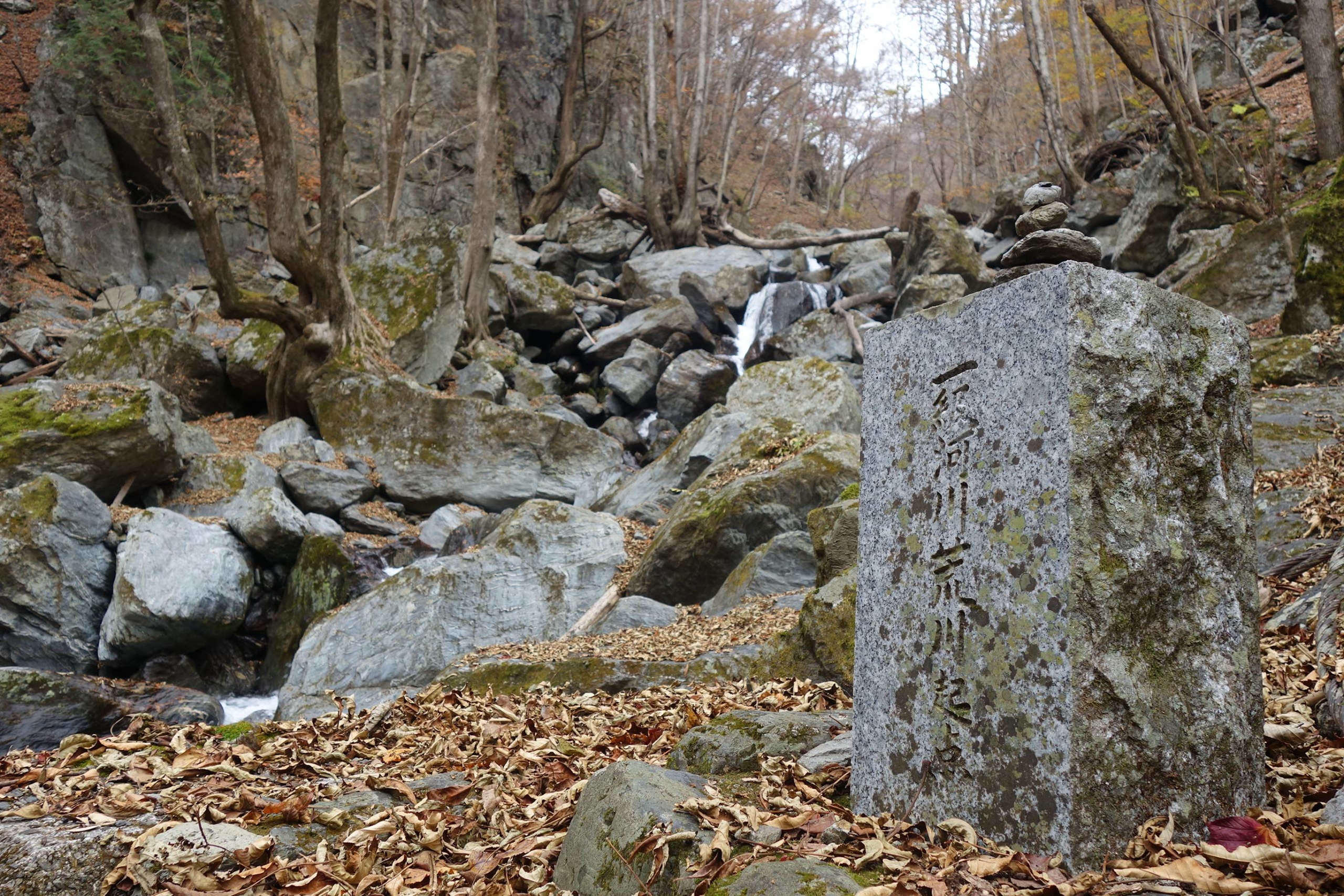
Chichibu, Saitama Pref. – The rusty tracks of an abandoned timber line meander along the edge of a steep cliff overlooking a gurgling, rocky river.
Half-buried in the forest path, these steel rails guide hikers through the mountains of Okuchichibu to where two tributaries join, marking the official starting point of the Arakawa, or “raging river.”
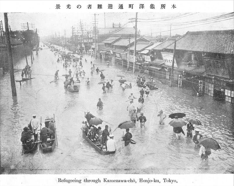
One of the capital’s most important water sources, the Arakawa is also the deadliest river in Japan in the event of flooding — risks being amplified by extreme weather, rising sea levels and other climate-related events associated with global warming.
It is from here, at the western edge of Saitama Prefecture, that the Arakawa begins its 173-kilometer journey. Flowing east down the mountain slopes to the Chichibu basin, the river then turns north through the famed rock terraces of Nagatoro Valley before making its way southeast into the Kanto Plains. After winding through the capital’s densely populated northeastern wards, it finally deposits into Tokyo Bay.
Covering 2,940 square kilometers, the Arakawa River basin is home to approximately 10 million people and spreads across the Tokyo metropolitan area, where one-third of Japan’s population and industries are concentrated. A major source of agricultural irrigation and tap water, the river is, quite literally, the lifeblood of the nation’s economy.
In a time of both misinformation and too much information, quality journalism is more crucial than ever.
By subscribing, you can help us get the story right.


With your current subscription plan you can comment on stories. However, before writing your first comment, please create a display name in the Profile section of your subscriber account page.